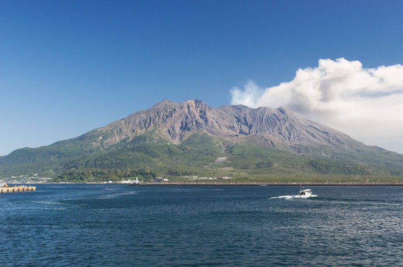
In case of calamity when you travel in Kagoshima, I made the map of evacuation places on basis of the hazard map of the local government.
Evacuation Map
Note
![]()
Above icon indicates Evacuation Shelter for Eruption.
![]()
Above icon indicates Evacuation Building for Eruption.
![]()
Above icon indicates Evacuation Port.
In case of emergency, please evacuate without haste, be careful of information of media such as radio and TV and follow the order of the local government.
(Reference:指定緊急避難場所・指定避難所・地震時の退避場所・津波避難ビル)
