In case of sudden natural calamity when you are in Kagoshima, I made the map of evacuation places on basis of the hazard map of the local government.
Evacuation Map
0993-32-2059
風水害(Storm & Flood)
津波(Tidal Wave)
099-32-5265
風水害(Storm & Flood)
風水害(Storm & Flood)
風水害(Storm & Flood)
風水害(Storm & Flood)
風水害(Storm & Flood)
0993-32-4877
風水害(Storm & Flood)
0993-32-3113
風水害(Storm & Flood)
津波(Tidal Wave)
0993-32-3111
風水害(Storm & Flood)
津波(Tidal Wave)
風水害(Storm & Flood)
0993-35-9812
風水害(Storm & Flood)
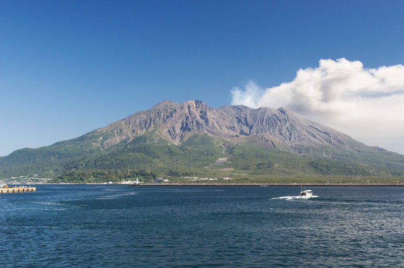
噴火(Eruption)
風水害(Storm & Flood)
噴火(Eruption)
0993-35-0811
風水害(Storm & Flood)
噴火(Eruption)
099-34-0535
風水害(Storm & Flood)
0993-35-2961
風水害(Storm & Flood)
099-34-1046
風水害(Storm & Flood)
0993-35-3300
風水害(Storm & Flood)
津波(Tidal Wave)
0993-34-0211
風水害(Storm & Flood)
津波(Tidal Wave)
0993-34-1396
風水害(Storm & Flood)
0993-35-2766
風水害(Storm & Flood)
0993-26-2824
風水害(Storm & Flood)
噴火(Eruption)
0993-25-4859
風水害(Storm & Flood)
0993-25-4858
風水害(Storm & Flood)
津波(Tidal Wave)
0993-22-5957
風水害(Storm & Flood)
津波(Tidal Wave)
0993-22-5889
風水害(Storm & Flood)
0993-24-4166
風水害(Storm & Flood)
津波(Tidal Wave)
0993-22-2111
風水害(Storm & Flood)
Note
![]()
Above icon indicates First Evacuation Places.
Second Evacuation Places are placed by the Disaster Headquarters when it is established.
Clicking on each icon shows you telephone number (if any) and kinds of disaster (Storm, Flood, Tidal Wave, Eruption)of the 1st evacuation place.
In case of emergency, please evacuate without haste, be careful of information of media such as radio and TV and follow the order of the local government.
(Reference:鹿児島県のハザードマップ)